The era of the authoritative, top-down map is over. For today’s geospatial professional, a new paradigm has emerged: crowdsourced cartography. This shift moves the tools of creation from the expert’s office into the public’s pocket, fundamentally changing our role. We are no longer the sole creators of geographic data. Instead, we have become the essential curators, validators, and ethicists of a living map built by millions. This article explores this transformation, its impact on your workflow, and the skills you need to lead in this open-data world.
The Rise of the Collaborative Map
For generations, professionals relied on meticulous surveys and proprietary data. The public merely consumed our finished maps. This model shattered with the rise of GPS-enabled smartphones and web technology. Suddenly, everyone could collect and share location data. This Volunteered Geographic Information (VGI) turned local knowledge into mappable data.
OpenStreetMap (OSM) stands as the flagship of this movement. It’s a free, editable world map built on a radical idea: the people who live in a place know it best. This model captures hyper-local details—like a new footpath or a café’s hours—at a speed and scale traditional methods cannot match. The static map is dead. In its place is a dynamic, crowdsourced cartography ecosystem that never sleeps.
The New Professional Toolkit: AI and the Cloud
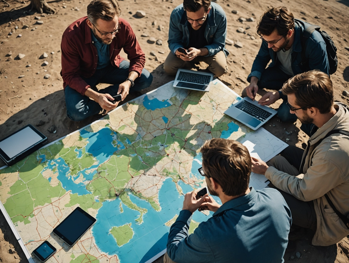
To manage this torrent of collaborative data, our toolkit has evolved. We now work where community input meets advanced computation.
- AI as Your New Partner: Artificial Intelligence handles critical, repetitive tasks. It performs automated feature extraction, scanning satellite imagery to pre-detect roads and buildings for human validation. More importantly, AI powers sophisticated data validation, flagging inconsistencies to maintain global data integrity. For example, tools like Facebook’s RapiD editor use AI to suggest map features, speeding up the contribution process.
- The Power of Cloud GIS: Complex spatial analysis no longer needs a supercomputer. Cloud-based platforms like ArcGIS Online allow us to run simulations and manage massive datasets from a laptop. This enables real-time collaboration across the globe. The fusion of crowdsourced data collection and professional cloud analysis defines the modern workflow.
Real-World Impact: Where Theory Meets the Ground
The true test of crowdsourced cartography is its practical, often critical, application.
- Disaster Response: When crisis strikes, groups like the Humanitarian OpenStreetMap Team (HOT) activate a global network of volunteers. They rapidly trace roads and buildings from fresh satellite imagery, creating lifesaving maps for first responders in hours, not weeks. This turns global solidarity into actionable intelligence.
- Smarter Urban Planning: Official maps often lack details like sidewalk widths or safe crosswalks. Crowdsourcing fills these gaps, providing data crucial for designing accessible, equitable cities. This participatory GIS approach ensures planning serves all people.
- Community Empowerment: This technology lets residents document their own neighborhoods—mapping assets, reporting issues, and advocating for change with data they control. It transforms local experience into civic power. For more on participatory methods, see our guide on [Internal Link: Community Engagement with GIS].
Your New Role: Curator, Validator, Ethicist
This shift doesn’t make us obsolete; it redefines our expertise. Our core challenge is no longer just creation—it’s curation and validation.
We must ensure quality in a flood of public contributions. Thankfully, the field has innovated. Gamified platforms like MapRoulette break quality assurance into micro-tasks, using the crowd to clean the crowd’s data. Transparent edit histories allow every change to be tracked and reviewed.
Furthermore, we have become ethicists. A map is never neutral. Mapping an informal settlement can provide aid or invite risk. Therefore, we must develop and follow ethical guidelines, balancing transparency with privacy, and advocacy with security. We are the bridge between community knowledge and responsible data stewardship.
Conclusion: Leading the Map of Tomorrow
The revolution in crowdsourced cartography is not the end of professional expertise. It is an invitation to amplify it. The future map will be a detailed tapestry woven from satellite feeds, sensor streams, and collective human knowledge. Our mission is to steward this resource with technical skill and ethical commitment.
By embracing roles as curators and ethicists, we ensure the crowdsourced map is accurate, equitable, and powerful. The rules have been rewritten. Now, we must lead the way. To start contributing, visit the OpenStreetMap
Leave a Reply